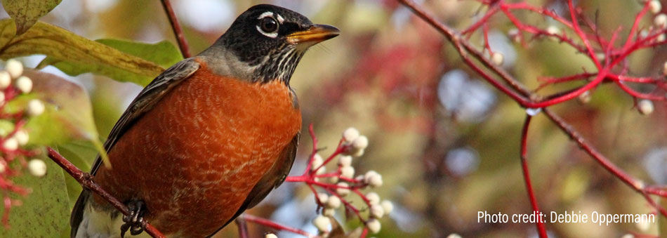
Wildlife Ecopassages
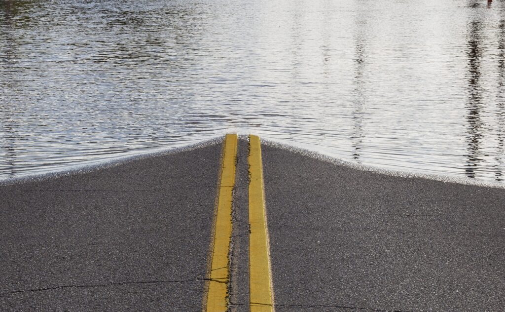
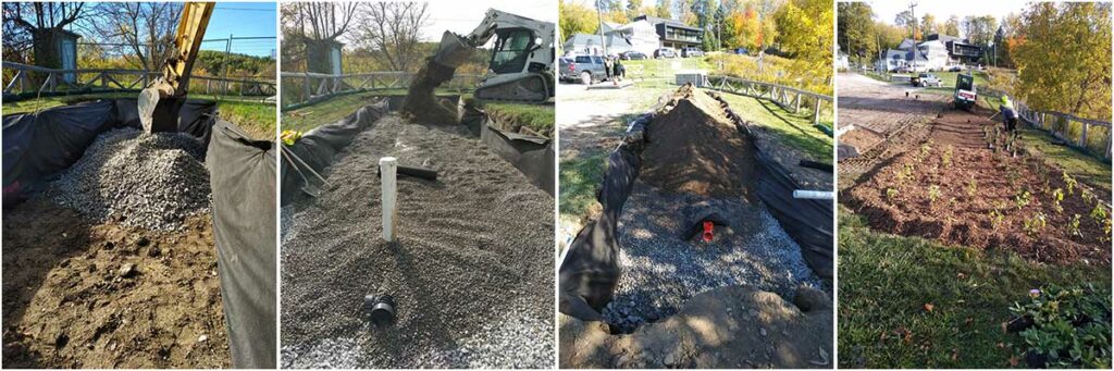
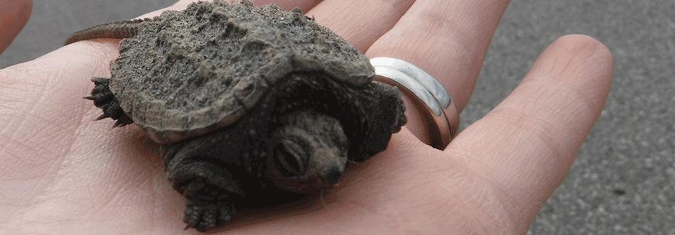
Roads are Dangerous Places for Wildlife With the ever-increasing encroachment of human settlement and the resulting expansion of road networks, wildlife habitats are getting smaller and further apart. Roads can have significant impacts on wildlife communities and their ability to move throughout their home ranges. To reach the things they need to survive and reproduce […]
Wildlife Ecopassages Read More »